1824
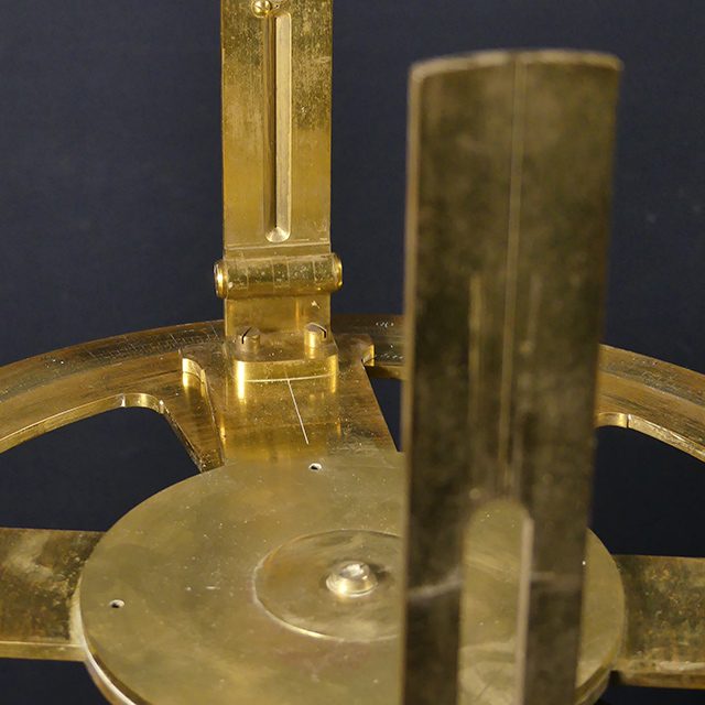

Measuring device for land surveying (tachymeter), around 1800
Alsfeld crossed!Alsfeld’s long-distance roads
Prehistoric long-distance routes, which have always served as trade routes for the better connection of settlements or early larger towns and cities, are historically documented and were increasingly developed over the centuries. One of the most important roads for Alsfeld, which flourished in the Middle Ages, was the significant trade route “Straße durch die kurzen Hessen.” Coming from Frankfurt via Friedberg, it passed through Hungen and Grünberg, ran directly through Alsfeld, and then continued via Hersfeld and Eisenach to the major trade fair city of Leipzig.
Following the French model, long-distance routes were planned and constructed as “chaussees” (highways) in Hesse starting as early as the 1770s. Chaussees often ran much straighter and were planned and surveyed in great engineering detail. As so-called “high roads,” they made it easier to overcome topographical conditions such as slopes and inclines in the terrain. Fortifications and drainage systems were also significantly improved by crowning the road surfaces.
The former “Romröder Chaussee” (now Grünberger Straße), with its buildings around and adjacent to the former Mainz Gate, still shows the defining elements of both urban and rural architecture. These new residential areas outside the former city fortifications emerged along the major new arterial roads or chaussees, which were extensively expanded around Alsfeld in the 18th and 19th centuries. (JW)